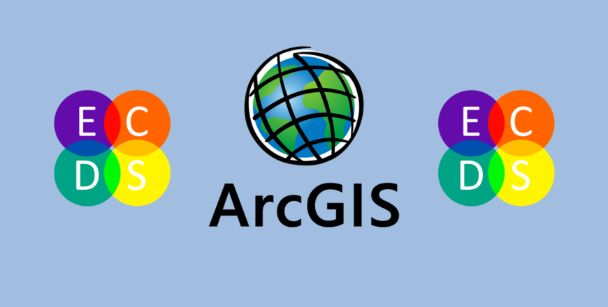
Diploma in Geographical Information Systems (GIS) Using ArcGIS
- Description
- Reviews
Dive into the world of spatial data analysis with this comprehensive course. Master ArcGIS to analyze, visualize, and interpret geospatial data, making it invaluable for professionals in environmental science, urban planning, and public health research.

Geographic Information Systems (GIS) have revolutionized the way we analyze and interpret spatial data. This course provides a deep dive into the functionalities of ArcGIS, equipping participants with the skills needed to analyze geospatial data, create professional maps, and make informed decisions based on spatial patterns.
The course begins with an introduction to GIS principles and the ArcGIS platform, including navigation, data management, and map creation. Participants will learn how to collect and import geospatial data, perform spatial analysis, and generate visually appealing and informative maps. The program covers advanced techniques, such as geostatistical modeling, 3D analysis, and web-based GIS applications.
Practical applications of GIS are emphasized throughout the curriculum, with case studies from fields such as environmental management, disaster response, and urban planning. Hands-on exercises allow learners to practice analyzing real-world datasets, while the final capstone project involves solving a complex geospatial problem.
In addition to video tutorials, participants will have access to downloadable resources, including datasets, project templates, and a guide to ArcGIS tools. Weekly live sessions provide opportunities for Q&A with instructors and peer collaboration. By the end of the course, participants will be proficient in using ArcGIS to tackle real-world challenges and present their findings effectively.
- Access to ArcGIS software.
- A computer with sufficient processing power for GIS applications.
- Basic familiarity with data analysis (helpful but not required).
- Environmental scientists, urban planners, and public health professionals.
- Students and researchers working with spatial data.
- Professionals in fields requiring geospatial analysis and decision-making.